


THE PROBLEM
Planning and delivering new infrastructure to meet future needs is complex.
PURPOSE
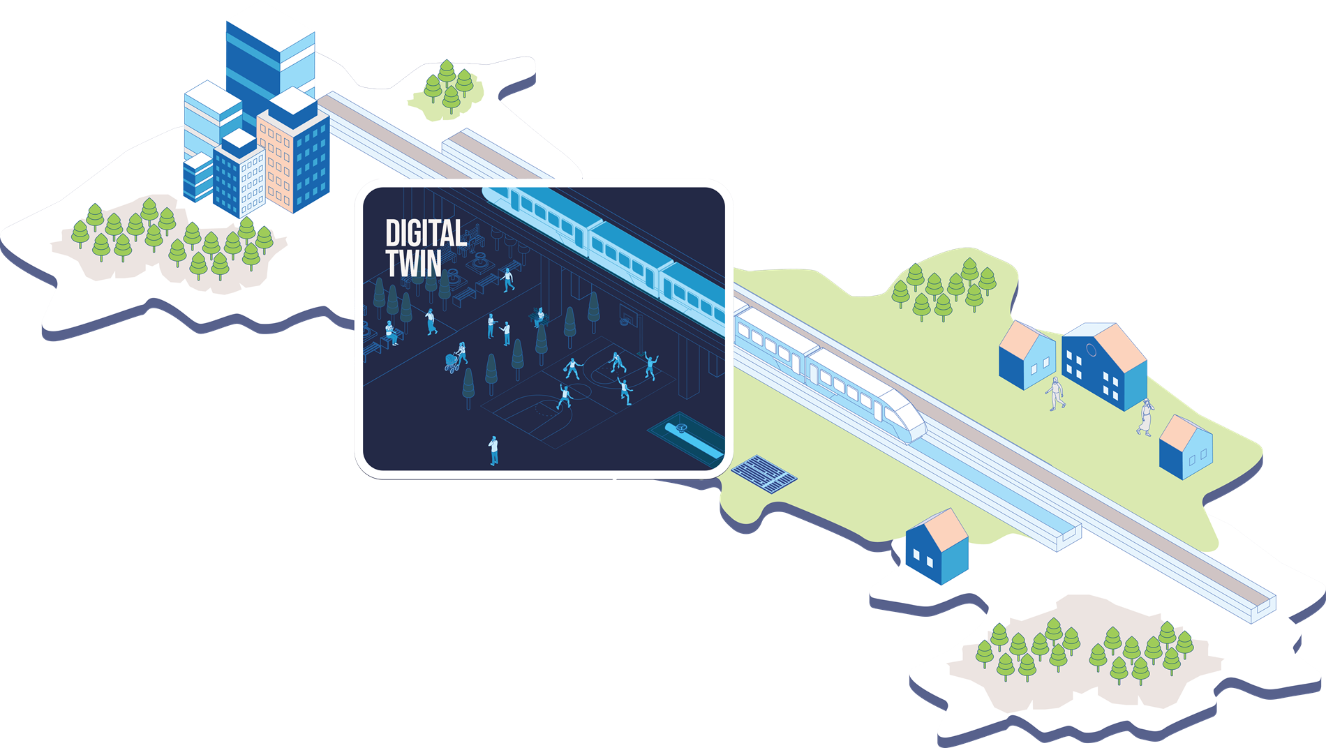
Utilise digital twin technology to better plan and deliver infrastructure projects and inform wider precinct planning.
How will it help?
Provide a 3D visualisation tool to support planning decisions.
Through scenario planning, concepts for land use within precincts can be easily assessed in a collaborative way.

Facilitate stakeholder and community consultation in 3D.

Provide a detailed, consolidated view of land for construction across Government and stakeholders.
With collated data the assessment of capital works costs can be better understood up front.
Facilitate maintenance activities with enhanced safe working outcomes.
In partnership with



Learn more about our use cases
-
 Digital Approvals Workflow
Delivered in partnership with the Department of Planning, Lands and Heritage, this use case will focus on streamlining the land development approval process in WA
-
 Land Management
 -
 Exposure Modelling for Emergency Management