
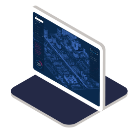
Spatial WA is a whole of government, digital initiative that will leverage the State’s data in one platform and provide the tools for Government to better plan, design, test and collaborate using a highly accurate virtual environment.
Digital Twin technology
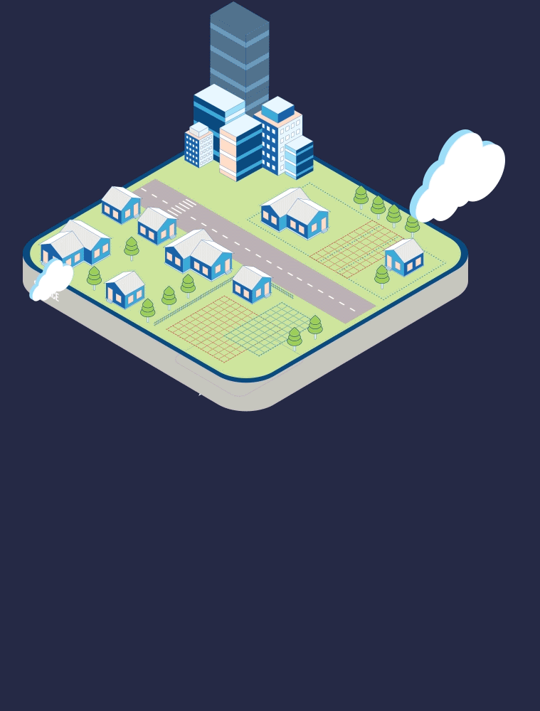
A Spatial Digital Twin is a digital representation of a real-world location in 4D (3D plus time). It combines maps, imagery and other data to create a virtual model with inbuilt tools for analysis, collaboration, scenario planning and predictive modelling.
The technology is already being used across the globe and it’s estimated that over 500 cities worldwide will have deployed digital twins by next year.

What will it do?
Discover, visualise, share, and utilise information in 2D, 3D and 4D formats through modern web services.
Provide a digital collaboration space between multiple Government agencies and stakeholders to work together.
Utilise digital workflows and data synchronisation between agencies, optimising government processes and providing a more efficient service to the community.
Dive into data with advanced geospatial analysis, analytics, models, and simulations for a deeper understanding and decision-making.
Safeguard data assets and provide a tool to manage data including setting standards, maintaining access and facilite data-sharing.
Next Generation Spatial Cadastre
Western Australia’s cadastre is a public register of land boundaries and ownership within the State. It provides the base for searching, planning and analysing land-related information.
Landgate’s current cadastre is only visualised as 2D, the Next Generation Spatial Cadastre will provide the tools to store and visualise the State’s cadastre in 3D/4D.
What will it do?
Publish cadastre and boundary data into the Spatial Digital Twin so that Government agencies can determine the potential impacts relating to land and property for better informed decisions.

Collaborate, streamline and automate resource intensive processes that are undertaken to maintain administrative boundary data aligned to the cadastre across Government.

Enable users to accurately visualise where property boundaries (including easements, reserves, tenements and environmental rights and restrictions) exist above, on and below the surface of the Earth.