NSW Digital Twin: Delivering more value and expanding use cases
Five years since its launch, the NSW Spatial Digital Twin (SDT) continues to prove its worth as a transformative platform for government planning.
The NSW Spatial Digital Twin has evolved into a robust ecosystem supporting a growing number of use cases across sectors including education, infrastructure development, housing supply, emergency response and local government.
The value of the digital twin is not just about the technology itself but about unlocking the value of the State’s data. An example of this is the release of NSW Land Subdivision Pipeline into the Spatial Digital Twin providing a forward view of new land development. This data empowers planners, developers and councils planning for communities and demand for infrastructure. It also informs the community of what neighbourhoods will look like in the future. It has been significant in supporting housing supply unlocking new land and finding efficiencies in the planning process.

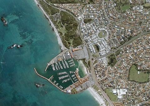
The NSW Land Subdivision Pipeline as shown in the Spatial Digital Twin.
One of the greatest benefits of the Spatial Digital Twin has been the ability to fully customise it to suit different needs across government. The NSW Department of Education leveraged a fully customised version of the Spatial Digital Twin to manage their school assets across the state. The tool allows them to manage their current assets and complete a rapid early assessment of sites suitable for development unlocking significant value.
Land information is not just about planning and development, during recent flooding events in NSW the Spatial Digital Twin was used to identify land suitable for temporary housing and streamline the process for activating it. This provided much needed relief for the impacted community.
With additional funding secured to deliver further enhancements, the Digital Twin is poised to unlock even more value within the regions and strengthening partnerships with local government.
Sources


